
Moorestown Neighbors by Block Source
Public records can describe the land, civic setting, and historical context around a Moorestown address. They do not create a complete neighbor list. GovPilot shows a parcel's mapped setting and selectable layers. The official tax map provides block and lot geometry. PRESS can lead to recorded instruments for the appropriate coverage period. Election materials explain districts and public polling sites. The Historical Society and library add dated organization, map, directory, and home-file material. Keep each source tied to the question it can actually answer.
| Source | What it shows about a Moorestown block | Access |
|---|---|---|
| Moorestown GovPilot | Parcel location, map context, census block, zoning, election, wetland, fire, hydrant, and trash-zone layers | Address or place-name viewer; static capture has no bulk-neighbor export |
| Moorestown tax map | Block and lot geometry, roads, and institutional, cemetery, church, or township parcels | County tax-map index and physical maps |
| Burlington PRESS | Recorded instruments connected to a selected block and lot or related party | County property-record index |
| Election geography | Districts and public polling institutions | Burlington County Election Board |
| Local history collections | Dated maps, directories, home files, organizations, and newspaper leads | Moorestown Historical Society and Library research routes |
Adjacent parcels may be private homes, public facilities, cemeteries, churches, or township land. A parcel identifier helps organize a lawful record search, but it does not prove who lives there. Moorestown neighbors are best understood through map-backed public context and dated source notes rather than a compiled household list.
Mapping a Moorestown Block Carefully
Moorestown GovPilot begins with an address or place-name field. After locating the place, use its parcel selection and View Property action, then record the map context and nearby parcel identifiers. The viewer's visible layers include census blocks, fire stations, hydrants, wetlands, zoning, election districts, polling places, school polling places, and trash zones. It also uses parcel-color categories for residential, apartment, commercial, industrial, vacant, and public or government land. Static research did not expose a complete owner card, a radius tool, or a bulk street control, so none should be assumed.
- Enter the Moorestown street address or place name in GovPilot and confirm the mapped parcel.
- Click the parcels immediately around it, recording block, lot, map sheet, nearby road, and any public or institutional designation.
- Open the tax-map sheet to check parcel geometry, road labels, scale, and map date before relying on a visual boundary.
- Use PRESS only for a narrow public land-record question, observing its date coverage and the source date for every result.
- Keep civic layers and public institutions separate from assumptions about the people who use or live near them.
The flow is address to GIS parcel, then block and lot, then tax map, then a defined county or municipal record. For a whole named street rather than the immediate Moorestown block, use the By Street directory for the longer address-record sequence.
Moorestown Parcel and Lot Limits
Block and lot identify a legal parcel on the map. They do not identify every neighbor or every resident. The Moorestown Tax Assessor maintains the municipal tax list, updates ownership after reviewing deeds, and maintains the block and lot map. The tax-collection route supports owner last name, property address, block and lot, tax account, and utility-account keys. Its current-account function is not a historical occupant directory or a certified conveyance record.
PRESS adds the recorded-instrument layer. On or after March 1, 2012, block and lot or owner-name searches are available. The 1965 through February 2012 period uses owner-name searching, and the pre-1965 route is the county archive viewer by owner name. Maps before 1995 are not available on PRESS. A deed's legal description governs a conveyance; a tax map is navigation evidence, not title evidence. The situs is the physical parcel location, while a tax record may use a separate mailing address.
- Parcel
- A mapped tract identified for tax and land-record use, often by block, lot, and qualifier.
- Situs address
- The physical location of the property, which can differ from an owner's mailing address.
- Legal description
- The land description in a recorded instrument that controls the conveyed property.
- Map sheet
- The official tax-map page needed to interpret a block and lot in its local setting.
Moorestown Neighbors and Civic Geography
Election geography offers a public way to understand a Moorestown block without identifying voters. Burlington County's polling-place material maps Moorestown districts 01 through 14 to public locations including Lenola Firehouse, First United Methodist Church, Moorestown Estates Assisted Living, Moorestown Hose Company #1, The Evergreens, First Presbyterian Church, and Town Hall. These sites show how a district is organized, not who is registered in it.
The County Superintendent of Elections maintains voter records and poll books. The Election Board handles ballots, poll workers, accessible polling places, redistricting maps, results, and audits. New Jersey voter rules restrict signatures, protected addresses, driver-license and Social Security information, full dates of birth, phone and email information, and Daniel's Law data. A defined request may use municipality, ward, and district fields, but no civic map should be converted into a Moorestown neighbor roster.
The Burlington County Election Board page is pictured below as the current office route for district and polling information.
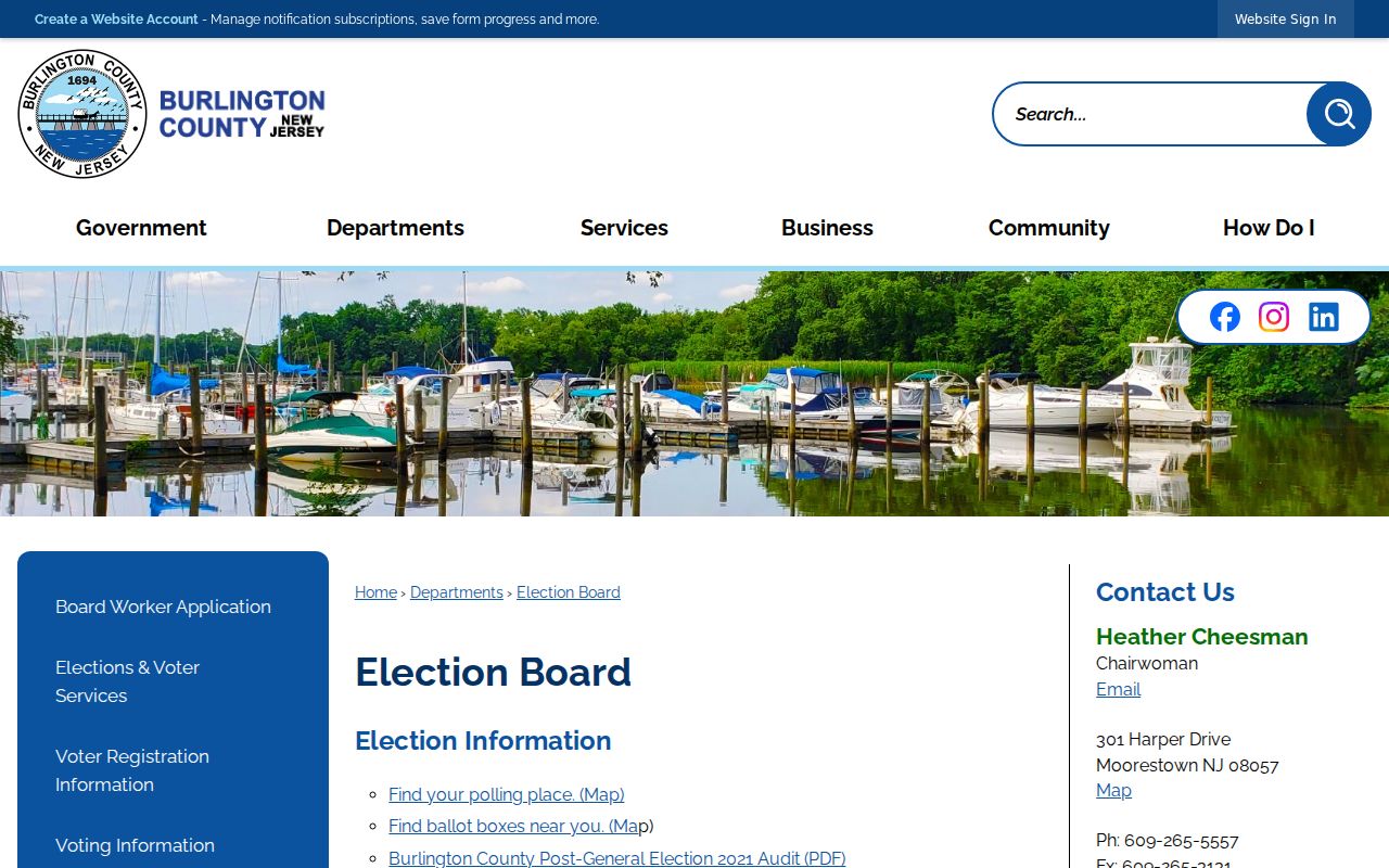
Polling locations can change, so consult the current Election Board and voter portal rather than treating an older district document as a permanent boundary.
Moorestown Community Anchors Nearby
No separately published roster of Moorestown neighborhood associations, HOA members, block-watch participants, or join procedures was located in the official research. The appropriate alternative is to use verified public institutions as public-context sources. Moorestown's Boards and Committees, Community Partners, Community House, Historical Society, Rotary, Moorestown Creates, churches, schools, and fire companies are documented anchors. A business-association member directory is a business and institution list, not a neighborhood membership roll.
Boards and Committees
Moorestown's public board directory links civic appointments, agendas, and minutes. It documents public roles, not private household membership.
Community House
Community House is at 16 E Main Street. Its public contact route supports organization and building-history research.
Historical Society
The research library at Smith-Cadbury Mansion holds home, family, organization, directory, map, and newspaper leads under its research and copying rules.
The Moorestown Boards and Committees page is shown below because it is a verified civic directory route, unlike an unverified neighborhood roster.
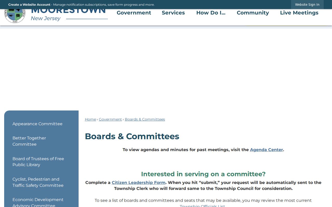
Use a public organization page to identify the organization and its contact path. Do not infer that a nearby household belongs to it from an address or parcel alone.
Moorestown Neighborhood Search Terms
The 2023 Moorestown Environmental Resource Inventory gives local development vocabulary that can improve a map, planning, or newspaper search. Names include North Riding, Timbercroft, Pheasant Fields, Chesterville, Moorestown Greene, Hartford Glen, Albury Heights, Joshire Estates, Stanwick Glen, Wexford Estates, Kings Crossing, East Gate, Laurel Creek, Peachtree Point, Orchard Landing, Brandywine Glen, Saratoga Glen, Salem Point, Meadowbrook, Allenwood, and Swede Run.
These names are search terms, not parcel boundaries or membership lists. Test them against the Moorestown map, planning records, historical news, and dated local collections. A development label does not prove that all nearby parcels share an owner, mailing identity, ZIP code, or polling district. Moorestown neighbors may use the same local label while belonging to different civic or postal geographies.
Note: Record the exact development name and source date, since a familiar local label may be absent from a deed, tax map, or historical directory.
Historic Moorestown Block Context
Historical sources make a block more understandable without claiming a present-day neighbor identity. The Moorestown Master Plan describes a T-shaped historic district with about 350 contributing structures from a 1990 survey. The district follows Main Street from the Perkins Memorial at Kings Highway toward Zelley Avenue, with a leg roughly between Mill Street and Chester Avenue. This is a planning and preservation clue, not an ownership list.
The Moorestown Community House, a 1926 English Gothic building, provides a concrete institutional trail. The New Jersey Historic Trust records grants in 2022 and 2025, including 2025 roof work. Pair a named building with the current GIS parcel, 2006 and 2018 tax-map milestones, the 1923 Sanborn map, planning records, PRESS, newspapers, and Historical Society files. Each layer records something different.
The Community House contact page is pictured here as a verified public institution on a Moorestown historic block.
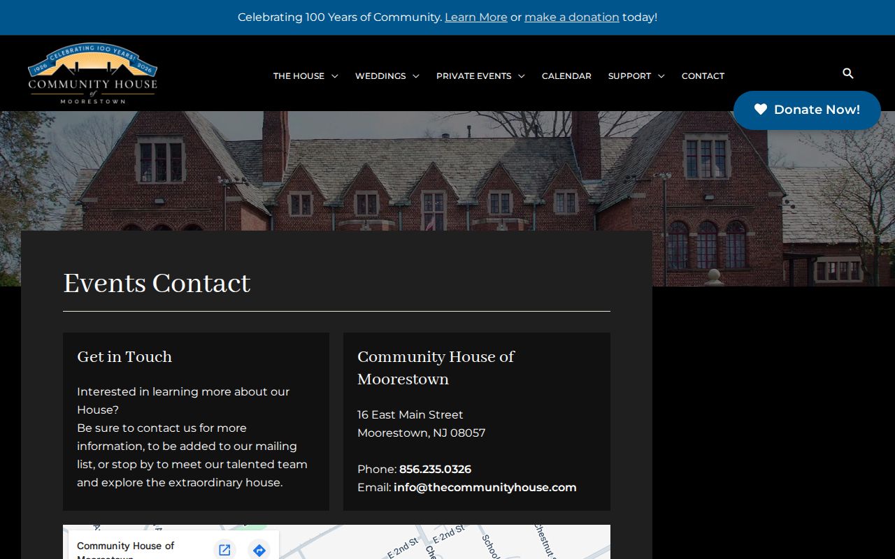
That institution trail can explain a building's civic role and preservation history without exposing a private household or making an unverified ownership claim.
Moorestown Neighbor Source Comparison
Official records and commercial neighbor tools do not offer the same kind of information. Public map, tax, land-record, election, and historical sources have named custodians and defined limits. Commercial services may combine public filings, marketing data, and historical addresses into a convenient display, but the information can be stale, merged incorrectly, or incomplete. Neither category proves a complete current household. Start with the primary Moorestown or Burlington County source that matches the question.
| Official source | Commercial neighbor tool category |
|---|---|
| Shows a defined parcel, map, instrument, election district, or archival item with a named custodian | May combine varied sources into a display with uncertain update dates |
| Has source-specific access, redaction, and copy rules | May require a paid report and may not describe the underlying record clearly |
| Supports verification from the original map, index, image, or office | Requires independent checking before any conclusion about Moorestown neighbors |
For a Moorestown block, the primary map or recorded instrument remains the check on any combined display, and a source date keeps older address material in its proper period.
Moorestown Neighbor Lookup Limits
Privacy rules matter at the block level. Daniel's Law protects the addresses and personal data of covered current, former, and retired judges, law-enforcement personnel, prosecutors, child-protective investigators, and immediate family under the program. The Address Confidentiality Program provides a substitute address for qualifying survivors facing defined threats. A missing address, an incomplete map card, or a redacted entry can reflect a lawful protection rather than a bad Moorestown record.
Lawful use. Use Moorestown neighbor sources for map context, local history, civic awareness, property research, and safe community questions. Do not use an address, map, or record trail to watch, harass, intimidate, threaten, or harm anyone.
New Jersey's anti-stalking statute, N.J.S.A. 2C:12-10, covers repeated conduct that causes fear for safety or substantial emotional distress. For an immediate safety concern, contact the appropriate police or court channel. Do not expand a neighbor search into repeated tracking or a harmful compilation.