
Find Moorestown Streets by Address
A Moorestown street search works best as a chain of small checks. Start with the address in the municipal map, then carry the parcel identifiers into the tax map and county land index. The map identifies a place and its nearby public features. The tax and deed routes answer different questions, because the assessor maintains the municipal tax list after reviewing recorded deeds, while PRESS is the County Clerk's recorded-instrument system. Historical directories and newspapers can add dated context, but they do not turn a name at an address into proof of a current household.
- Enter the address or place name in the Moorestown GovPilot viewer and choose the parcel's property-view route.
- Record the block, lot, qualifier, map sheet, and the source date from the tax map rather than relying on a street-name match alone.
- Use the Moorestown tax-account route or Tax Assessor to test the documented address, last-name, block/lot, tax-account, or utility-account keys.
- Search Burlington County PRESS by block and lot where that era permits it, then inspect the instrument route and its parties.
- Use election information only through its stated rules: the state portal checks one registration status, while a defined county request uses municipality, ward, and district fields.
- For a dated occupant clue, compare the relevant directory year or newspaper issue without treating it as a current resident list.
This is an address-to-record workflow, not a bulk street roster. Keep the query, date, spelling, and result status with every entry. A blank official search means no result in that search, not proof that no record exists.
Moorestown GIS Starts Street Research
The Moorestown GovPilot GIS viewer opens with an address-or-place search and then offers a parcel click and “View Property.” Its visible layers include census blocks, fire stations, hydrants, wetlands, zoning, election districts, polling places, school polling places, and trash zones. Those layers help distinguish a road, public parcel, or district boundary before an address search moves to a record custodian.
The static official view did not expose a full parcel card or a documented street export, radius tool, or bulk-neighbor feature. Treat the viewer as parcel navigation and map context. It does not establish a current owner, show a certified tax card, or replace a recorded document.
The Moorestown maps page leads into the municipal map resources used for this address work.
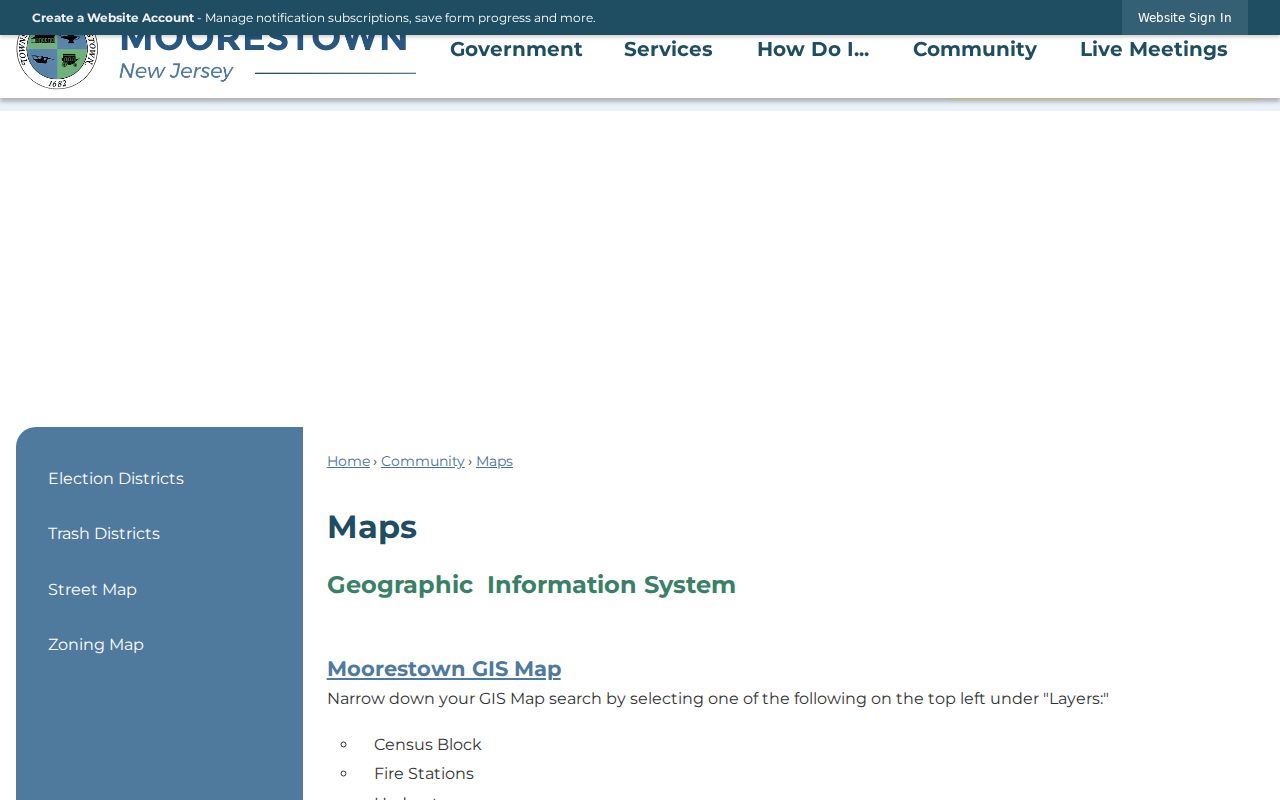
That municipal routing page is a useful first stop when a street name needs a current map source before any parcel or deed search begins.
Moorestown Tax Maps Decode Parcels
Street names alone are not always enough for a Moorestown address search. The official tax assessment map sheets label blocks, lots, roads, cemetery and church parcels, township parcels, and other institutional land. They carry a 2006 mapping date and 2018 state approval. The county tax-map index also provides a Moorestown route, with physical maps available in Room 111 of the County Administration Building.
Burlington County's tax-map index shows the official access point for the map sheets.
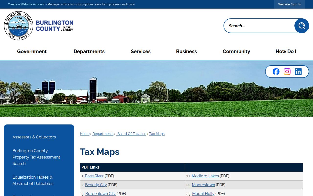
A map sheet can reveal the block-and-lot relationship or a public parcel beside an address, but it is not title evidence and cannot by itself prove ownership.
- Parcel
- A defined piece of land represented on a tax map, commonly identified locally by block and lot.
- Situs address
- The mapped location of the property, which can differ from a separate mailing line in a tax record.
- Plat
- An official map that depicts parcels, roads, and related land divisions. The tax map is a navigation source, not a conveyance.
- Criss-cross directory
- A directory arranged by address rather than surname. No Moorestown reverse-directory years were located in the reviewed official sources.
Moorestown Tax Keys by Street
The Moorestown tax-collection page documents several ways to locate a current account: homeowner last name, property address, block and lot, tax account, and utility account. It is an access guide to current account information, not a historical occupant file. The Tax Assessor maintains the municipal tax list and block/lot tax map, while recorded deeds remain with the Burlington County Clerk.
The local office is identified at 111 W 2nd Street, and the tax-collection guidance gives 856-235-0912 ext. 3008 for the office. Use the custodian when a precise record form or confirmation is needed, because the static municipal pages do not show a complete parcel-card field set.
| Moorestown search field | Observed type | Use and limit |
|---|---|---|
| Homeowner last name | Text | Current account route; not a complete historical name index. |
| Property address | Text | Matches the site location after careful street normalization. |
| Block and lot | Text or number pair | Links the map result to municipal and county parcel work. |
| Tax or utility account | Text or number | Account-routing key; the public page does not describe a full returned record. |
The Moorestown Tax Assessor explains the office's role in the municipal tax list and deed-reviewed ownership updates.
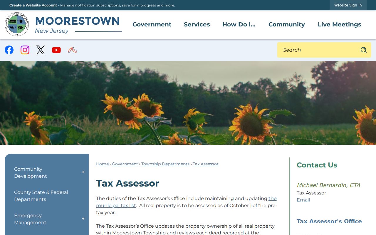
Use the assessor page as an office and access reference, then let the actual tax or land record supply any verified field that the page does not expose.
Moorestown PRESS Along a Street
Burlington County PRESS is the recorded-land route for a Moorestown address search. It offers instrument number, book and page, municipality, block, lot, qualifier, party name, date range, and document-type controls. The name route uses a last or company name, an optional first name, and a date range. A percent sign works as a wildcard. The visible interface marks mandatory fields and has result-count controls, but the actual document-type option list was not exposed in the static capture.
The key is the coverage split. Block/lot and owner-name searching is documented on or after March 1, 2012. From 1965 through February 2012, the stated route is owner name. Earlier work goes to the county archive viewer by owner name. Maps before 1995 are not available on PRESS. Search each era in its stated mode before calling a missing result a gap.
The county public-record access page confirms online and county public-computer access to the computerized index.
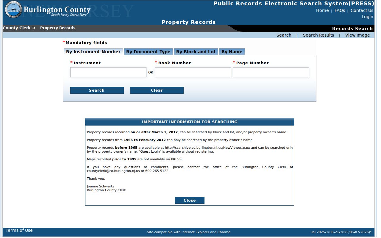
PRESS can lead to an instrument image or copy route, yet no live Moorestown deed row was retrieved for the research, so only an actual result or Clerk copy can confirm its parties and fields.
Moorestown Street Records by Address
Each address-keyed source answers a limited question. The map gives parcel geography. A tax account provides current-account routing. PRESS describes recorded instruments. A dated directory may connect a name and address in a particular year. Election information has its own statutory limits. Combining them carefully is more useful than treating any one source as a complete street roster.
| Address record | Keeper | What it can show | Access route |
|---|---|---|---|
| GovPilot GIS | Moorestown | Parcel location and map layers | Address/place search and parcel selection |
| Tax map | Moorestown / Burlington County | Blocks, lots, roads, and public or institutional parcels | Township PDF, county index, or Room 111 |
| Tax-account route | Moorestown Tax Collection | Current lookup keys and account guidance | Online route, phone, or office |
| Recorded instruments | Burlington County Clerk | Land-record index and image/copy route | PRESS, county public computers, or Clerk |
| Dated directories and news | Historical Society, library, and Library of Congress | Historical address association and local context | Collection, archive, or issue-by-issue research |
For one name rather than an address trail, the Moorestown resident lookup follows a separate verification path. Keep that question separate from a street-wide search.
Moorestown Street Map Layers
Moorestown's GovPilot view adds civic and environmental context to a street search. Census blocks, zoning, election districts, polling places, fire resources, hydrants, wetlands, and trash zones can explain why nearby parcels have different public labels. The viewer also displays parcel-color categories for residential, apartment, commercial, industrial, vacant, and public or government land. Use those categories to understand the map, not to make conclusions about individual people.
A street browse should identify parcels one at a time and preserve the source date. There is no documented radius or buffer search, or bulk street export, in the static viewer. For nearby parcels, make a narrow list of parcel identifiers and public institutions, then use the relevant custodian for a separate record check.
The live GovPilot viewer is the source for the visible map controls and layers.
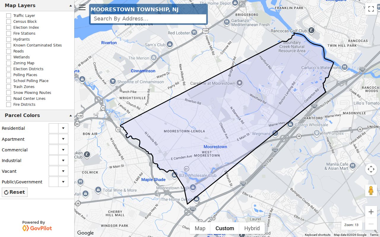
The image shows the map environment that supports address normalization before a block-and-lot or recorded-instrument search.
Moorestown Street History Checks
Older sources can test a street result without replacing the modern record chain. The Library of Congress holds a Moorestown Sanborn map dated October 1923 with building footprints and land-use detail. The regional directory finding aid documents volumes containing Moorestown from 1883-84 through 1929, with gaps. The 1987-88 Moorestown Town Phone Book supplies a later local checkpoint. Those materials show what was printed or mapped at a particular time.
The Moorestown Chronicle record in Chronicling America covers 1921-1946, and a 1907 Mount Holly News issue includes Moorestown items. Search an exact address, surname, house name, or organization, then compare the issue date against the instrument trail. The Historical Society's files, map collections, and local research holdings can supply an in-person fallback when an online index ends.
Moorestown's historic district is described as a T-shaped area with about 350 contributing structures. That planning context may help explain a historic survey or building label, but it is not proof of a title chain.
Moorestown Street Search Notes
Good notes prevent a false match. Keep the address as printed, its normalized form, block and lot, map sheet, source title, query field, date searched, exact name, record date, image status, and a confidence note. Separate an owner, occupant, trustee, organization, or public institution rather than merging the roles. The county's era changes and a historical street label can otherwise make two unrelated results look alike.
The practical insider tip is to begin with the GIS address and carry the block and lot forward. Starting with a guessed surname can miss the correct parcel or place an old owner on the wrong lot. Preserve spelling variants deliberately, including initials, married or former names, and company names only when the result supports them.
Limits of a Moorestown Street Directory
A Moorestown address search cannot establish every person connected with an address. The static municipal pages do not expose a complete parcel-card schema. The voter status portal is an individual check, not a bulk street roster, and New Jersey law restricts signatures, protected addresses, ID material, full dates of birth, phone and email fields, and Daniel's Law information. No public Moorestown permit-search portal or complete code-enforcement lookup was located in the reviewed sources. DMV address data and utility customer lists are not substitutes.
Lawful use. Use address records for personal, family-history, property, civic, or safety questions, verify with the custodian, and never use them to stalk, harass, threaten, or harm anyone.
Daniel's Law and the New Jersey Address Confidentiality Program limit what may be displayed or reused. Stop an address workflow when it would assemble a protected official's address, a substitute-address identity, or a pattern of repeated contact. Contact the proper custodian, court, police, or program channel instead.