
Moorestown Postal Directory Coverage
Moorestown's principal postal ZIP is 08057. It is the postal anchor for most municipal addresses reviewed in the official sources, but a postal delivery area is not the same thing as a township boundary. The documented local phone-book table also lists nearby Burlington County postal codes. Those codes are useful comparisons when an older directory or mailing line seems close to Moorestown, not proof that they serve a Moorestown parcel.
| ZIP | Areas covered | Post office or official anchor | Record note |
|---|---|---|---|
| 08057 | Moorestown postal area and most reviewed municipal addresses | Moorestown Post Office | Postal and municipal boundaries are not identical by definition. |
| 08016 | Burlington-area postal geography | Burlington postal area | Neighboring-code comparison only. |
| 08034, 08002, 08003 | Cherry Hill postal areas | Cherry Hill postal areas | Listed as nearby codes in the local phone-book table. |
| 08077 | Cinnaminson postal area | Cinnaminson postal area | Court venue references do not establish a ZIP boundary. |
| 08075 | Delran postal area | Delran postal area | Local phone-book comparison only. |
| 08036 | Hainesport postal area | Hainesport postal area | Local phone-book comparison only. |
| 08054 | Mount Laurel postal area | Mount Laurel postal area | County service location is not a Moorestown ZIP boundary. |
| 08055 | Medford postal area | Medford postal area | Local phone-book comparison only. |
No official source reviewed identifies another ZIP serving a Moorestown Township address, a list of 08057 addresses outside the township, a unique institutional ZIP, or a postal realignment year. Those are research gaps, not details to infer from a mailing label.
Moorestown Postal Records Anchor
The USPS Moorestown Post Office record identifies the office at 200 Chester Avenue, Suite 1, Moorestown, NJ 08057-9998. It provides the official location identity, ZIP+4, phone, and retail and PO-box hours. This makes USPS the right source for standardizing a mailing address before an address moves to a municipal map or county record system.
The office's published retail hours are Monday through Friday, 9 to 6, and Saturday, 9 to 1. Postal detail verifies a postal result. It does not independently establish a township boundary, parcel ownership, voter status, title, or the people connected with an address.
The official USPS location record is the source shown below.
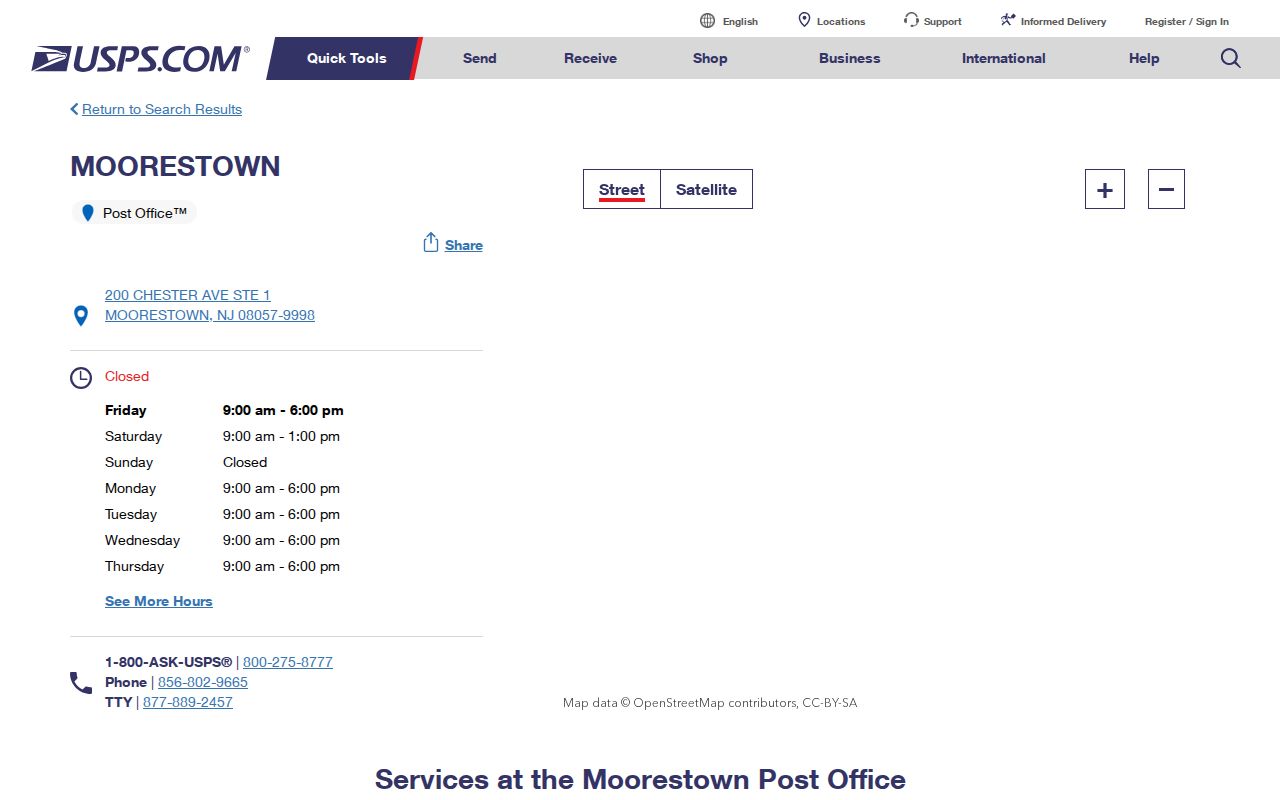
Use the standard address and ZIP+4 from the postal source as a starting note, then retain it exactly when comparing map, tax, and historical records.
Moorestown Records and Postal Geography
ZIP 08057, Moorestown Township, and the Moorestown-Lenola census-designated place are separate geographies. Census QuickFacts reports 21,355 people for Moorestown Township in the 2020 Census and a 2025 estimate of 22,262. The separate Moorestown-Lenola CDP page reports 14,240 in 2020. Those figures belong to their named census geographies and should not be substituted for a postal-area count.
The Moorestown Township QuickFacts page and the Moorestown-Lenola CDP page keep those labels separate. A postal reference is most accurate when it preserves the source's own geography instead of turning a postal city into a municipal line.
Postal check. A 08057 result is a mailing clue. Confirm the municipality with USPS, then test the parcel in Moorestown GIS before routing any local record request.
Find Moorestown Records After a ZIP Check
No reviewed Moorestown portal provides a ZIP-wide resident search. The right method is ZIP first, parcel second. USPS verifies the mailing line; GovPilot tests the address or place in the municipal map; the tax map supplies block and lot; and PRESS supplies the appropriate recorded-instrument route. The voter status page uses name and date of birth, not a ZIP query. The county voter request form uses municipality, ward, and district fields rather than a universal ZIP lookup.
- Copy the USPS-standardized address, including ZIP+4 when the official result supplies it.
- Enter the address or place name in Moorestown GovPilot and check the municipal parcel context.
- Read the tax-map sheet, block, lot, qualifier, and printed municipal label before choosing a custodian.
- Use the documented tax-account keys or PRESS search fields for the actual record question, rather than expecting a ZIP-only result.
- Preserve the ZIP, source date, and any historical postal label as separate notes when comparing older materials.
Once a postal area is narrowed to an address, the Moorestown street directory carries the parcel and land-record workflow further. The ZIP is a filter, not an ownership or identity finding.
Moorestown Record Search Fields
USPS supplies the ZIP-capable lookup in the reviewed source set. Its location search returns the official office detail, including address, ZIP+4, phone, and retail or PO-box hours. Moorestown tax collection and GovPilot accept other location keys, but their reviewed pages do not show ZIP-wide modes. PRESS is organized around municipality, block/lot, party name, instrument, document type, and dates rather than postal codes.
| Portal | Observed field or key | ZIP use |
|---|---|---|
| USPS location lookup | Location search | Verifies postal location detail and ZIP+4. |
| Moorestown GovPilot | Address or place name, parcel selection | Tests municipal map context; no ZIP input was visible. |
| Tax collection | Address, last name, block/lot, tax or utility account | Current account route; no ZIP-wide result mode documented. |
| Burlington PRESS | Municipality, block/lot, name, instrument, document type, dates | Land-record search, not a ZIP directory. |
The New Jersey voter-registry statute identifies municipality and ZIP among system fields while limiting what may be publicly released.
A field listed in a voter system does not turn that field into a public ZIP-based roster. The statute protects sensitive and protected-address information.
Moorestown Parcel Record Trail
For a disputed or unclear mailing line, the verified fallback chain is county tax-map counter, municipal GIS, USPS lookup, and a custodian call. Moorestown's map page directs parcel questions to GovPilot and the tax-assessor and tax-map offices. The municipal tax page documents address, homeowner last name, block/lot, tax account, and utility account keys. It does not document a ZIP filter.
Keep street directionals, suffixes, units, historic place names, ZIP+4, block, lot, qualifier, and legal-description text exactly as each source prints them. A legal description can remain stable when a mailing line changes. Conversely, a postal city might not match the township label. That is why a record should be routed by the parcel and custodian, not by a ZIP alone.
Moorestown Election Records Geography
Election districts give civic context but do not map cleanly to a postal code. Burlington's polling-place PDF places Moorestown districts 01 through 14 at institutions including Lenola Firehouse, First United Methodist Church, Moorestown Estates Assisted Living, Moorestown Hose Company #1, The Evergreens, First Presbyterian Church, and Town Hall. These locations explain public district geography. They are not a list of voters or households.
The New Jersey voter-registration page directs individual status checks to the state portal. The check requires first name, last name, and date of birth, with a middle initial optional. For a properly scoped public-record request, Burlington County's Superintendent of Elections and Election Board are both at 301 Harper Drive in Moorestown, though the county form should be checked for its processing instructions before mailing.
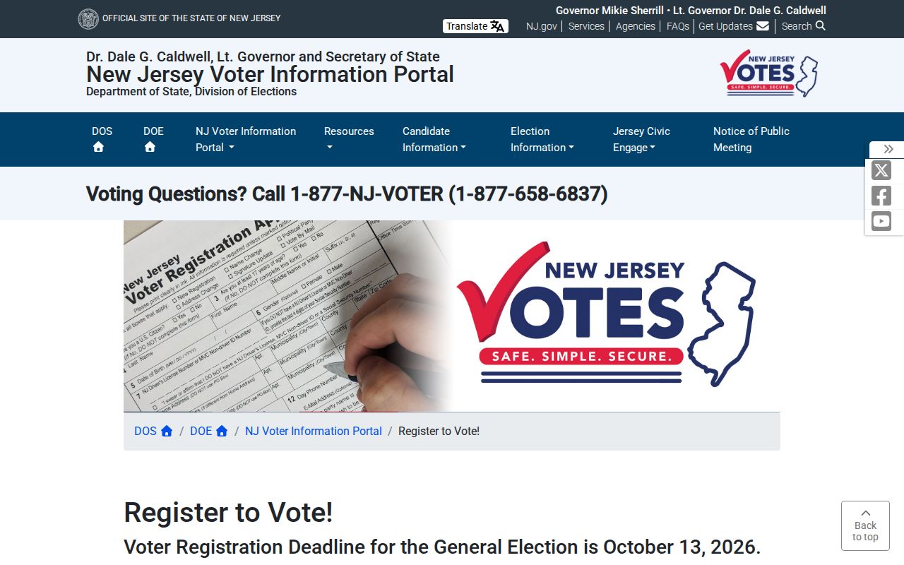
The state registration material illustrates why an individual status check and a postal reference are different tools with different access rules.
Moorestown Postal Directory History
The 1987-88 Moorestown Town Phone Book preserves a local ZIP table and neighboring postal-code references. It can help interpret an old mailing line, especially when paired with a year, directory title, and map source. The same local-history material preserves older place-name clues, including Chestertown, Rodmantown, Moore's Town, and Moorefield. They are historical search terms, not alternate current municipalities.
For an older address, retain the printed postal label, search Moorestown and a documented historical variant, and compare the 1923 Sanborn map, tax maps, directories, newspapers, and the Historical Society holdings. That sequence explains a changed label or institutional parcel without claiming an unverified current connection.
Moorestown ZIP Code Boundaries
The reviewed official sources did not supply a verified boundary list for every 08057 address, an alternate ZIP serving a Moorestown parcel, a split or realignment year, or a unique or PO-box-only Moorestown ZIP. The proper answer to a city-line question is therefore a source check, not a guess. USPS establishes the mailing address, Census establishes named geography, and GovPilot tests the municipal parcel.
- ZIP versus ZIP+4
- A ZIP identifies the postal area. ZIP+4 adds a more precise delivery segment and should be copied exactly from USPS.
- PO-box ZIP
- A postal code used for box service rather than a normal geographic delivery area. No such Moorestown ZIP was documented in the reviewed sources.
- Unique ZIP
- A code assigned to one institution or organization. No unique Moorestown ZIP was documented in the reviewed sources.
- Carrier route
- A postal delivery grouping. The reviewed Moorestown sources did not expose a carrier-route search or resident export.
A postal reference can narrow a mail question, but it cannot establish a person's current whereabouts, title, occupancy, household, or voter status. For protected addresses or a pattern of repeated contact, stop the search and use the appropriate custodian, court, police, or confidentiality-program channel.